Standard Drones Fail at Wind Turbine Inspection. This Is Why.
Most drone inspection data from wind turbines is unreliable. Not because of the pilot. Because of physics. Learn why GPS fails near turbine steel and what autonomous inspection actually requires.

Katja Weissbach
Head of Sales

Table of contents
Share
Standard Drones Fail at Wind Turbine Inspection. This Is Why.
Your last wind turbine inspection looked fine. The drone flew. The images came back. The report was filed.
But here is the question no one asks: was the flight path the same as last year? Did the drone hold the same distance from the blade surface? Was the camera angle identical at metre 34 on blade two?
If you cannot answer yes to all three, you do not have inspection data. You have a collection of images that are hard to be compared to anything.
This is the inspection problem no one in the industry talks about. Not because it is hidden. Because most operators do not discover it until a defect is missed, a claim is disputed, or an auditor asks for the comparison shot and it does not exist.
The physics problem standard drones cannot solve
Standard commercial drones navigate using GPS. That is how they know where they are, hold their position, and follow a pre-planned route. In open fields and urban rooftops, this works well enough.
At a wind turbine, it does not work.
A modern wind turbine contains tonnes of structural steel. That steel creates local magnetic interference. It distorts the GPS signal in the immediate vicinity of the rotor, nacelle, and tower. The drone thinks it is in one position. It is actually in another.
The drift is not dramatic. You will not see the drone fly into the blade. You will see it hold a position that is slightly off. The camera captures the blade surface at a slightly different angle and distance than planned. The operator may not notice. The report will not flag it.
But the data is compromised. Compare this shot to last year's shot at the same nominal position, and you are not comparing like with like. You are comparing two slightly different views of the blade surface and calling it trend analysis. It is not.
This is not a drone quality issue. It is a physics issue. GPS signal integrity near large steel structures is a known limitation. It affects every GPS-dependent platform equally, regardless of brand, price, or sensor payload.
The repeatability problem that makes trend analysis hard
Defect detection is not the hardest part of blade inspection. Finding a crack that is already visible in a single image is straightforward.
The hard part is knowing whether that mark was there last year. Knowing whether it grew. Knowing whether it is progressing toward a critical structural threshold or whether it has been stable for three seasons.
That kind of intelligence requires repeatable data. The same position. The same angle. The same distance. The same lighting conditions where technically achievable. Every inspection cycle.
Without repeatability, you cannot trend. You cannot predict. You cannot plan maintenance against evidence. You plan against assumption.
Standard drone inspections break repeatability in three places.
First, GPS drift means the position varies between flights. The nominal waypoint is the same. The actual position is not.
Second, manual or semi-automated flight paths depend on pilot skill and real-time conditions. Two pilots flying the same turbine produce different datasets. The same pilot on a windy day produces different data than on a calm day.
Third, without a geometric reference locked to the physical structure of the turbine itself, there is no way to confirm that position A in this year's dataset corresponds to position A in last year's dataset. The numbering is arbitrary. The correspondence is assumed.
This is why many operators end up with years of inspection data they cannot use for trend analysis. Not because the data was not collected. Because it was never collected in a way that makes comparison valid.
What autonomous inspection actually requires
Solving this problem requires removing GPS as the primary navigation input near the turbine. That means replacing it with a navigation system that builds its own spatial reference from the environment it is operating in.
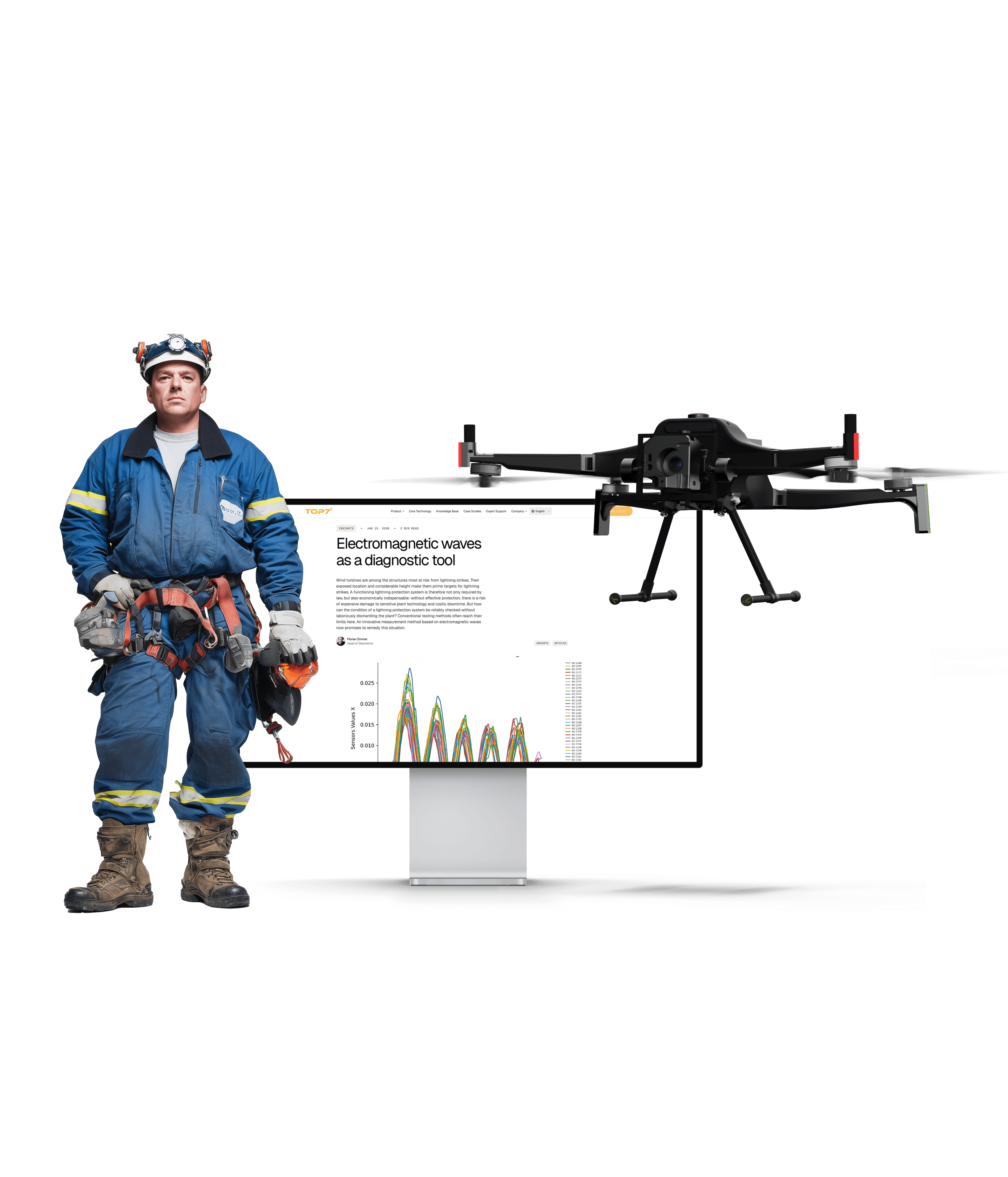
This is called SLAM: Simultaneous Localization and Mapping. Instead of asking a satellite where the drone is, SLAM builds a real-time map of the surrounding geometry and uses that map to determine position. The drone knows it is 1.2 metres from the blade surface at position 34 metres along the span because it has measured the geometry itself, not because a satellite reported a coordinate.
SLAM does not degrade near steel. It does not drift when a GPS signal is blocked or distorted. It works inside structures, behind obstacles, and in any environment where geometry exists to be measured.
TOPseven's autonomous inspection platform uses SLAM as its navigation core. Every flight follows a path that is planned against the actual geometry of the specific turbine being inspected. The flight path is repeatable because it is defined relative to the structure itself, not to a GPS grid. Next year's flight will follow the same path. The year after as well. The dataset is comparable from day one.
This is not an incremental improvement over standard drone inspection. It is a different class of system solving a different class of problem.
What this means for your inspection data
If your current inspection programme uses GPS-dependent drones, your data has the following properties:
It shows you what was visible at the time of inspection. Within that session, the images are real. The defects that appear in them are real.
It cannot reliably tell you whether a defect has grown since last year. The comparison position is approximate. The trend line is based on an assumption of correspondence that cannot be verified.
It cannot serve as defensible evidence in a warranty dispute, insurance claim, or regulatory audit where position accuracy and repeatability are scrutinised. The chain of custody between inspection cycles has a gap in it.
For operators managing a small portfolio where visual checks are sufficient and no one will ever ask for the comparison shot, this may be acceptable.
For fleet operators managing long-term asset health, planning major repair campaigns against trend data, or operating under insurance and regulatory conditions that require defensible evidence, it is not.
The standard no one is enforcing yet
There is no regulatory requirement today that mandates repeatable, position-locked inspection data for wind turbine blades. Operators can file GPS-based inspection reports and satisfy current compliance requirements with them.
This will change. The same trajectory that produced mandatory LPS inspection intervals and increasingly specific documentation requirements for end-of-warranty assessments is moving toward inspection data quality standards. When it does, operators who have been building repeatable, traceable datasets will have a significant advantage. Those who have been collecting comparable images will need to start again.
The argument for autonomous, SLAM-based inspection is not that your current data is useless. The argument is that repeatable, position-locked data is worth more than approximate data, costs the same to collect when the infrastructure is right, and represents the asset intelligence standard the industry is converging toward.
You are not buying pictures. You are buying proof. Proof requires repeatability. Repeatability requires removing GPS dependency at the turbine.
Why do standard drones fail at wind turbine inspection? Standard commercial drones navigate using GPS signals. Wind turbines contain large amounts of structural steel that create local magnetic interference, distorting GPS accuracy in the immediate vicinity of the rotor, nacelle, and tower. This causes positional drift: the drone holds a position that varies slightly from the planned waypoint. The variation may be invisible in a single inspection session but makes it impossible to reliably compare data across inspection cycles for trend analysis.
What is GPS drift near wind turbines? GPS drift is the error between where a GPS-dependent drone believes it is and where it actually is. Near large steel structures like wind turbines, local magnetic fields distort the GPS signal. The drone compensates imperfectly, resulting in real-world positions that deviate from the planned flight path. This deviation is typically small enough that operators do not notice it in the images, but large enough to invalidate comparison between inspection sessions at the same nominal position.
What is SLAM navigation and why does it matter for wind turbine inspection? SLAM stands for Simultaneous Localization and Mapping. Instead of relying on GPS, a SLAM system builds a real-time map of the surrounding environment and uses that map to determine its own position within it. Near wind turbines, where GPS is unreliable, SLAM allows a drone to navigate with reference to the physical geometry of the turbine itself. This means the flight path is repeatable regardless of GPS signal quality, enabling like-for-like comparison of inspection data across multiple years.
How do you get repeatable wind turbine inspection data? Repeatable inspection data requires two things: a navigation system that holds the same position relative to the turbine structure from one flight to the next, and a standardised capture protocol that defines distance, angle, and coverage at each inspection point. GPS-dependent systems cannot provide positional repeatability near turbine steel. SLAM-based autonomous inspection systems plan and execute flight paths relative to the turbine's physical geometry, producing datasets that can be directly compared across inspection cycles.
Can autonomous drones inspect wind turbines without GPS? Yes. Autonomous drone platforms using SLAM navigation do not require GPS for positioning near the turbine. They build a spatial map of the turbine geometry and navigate relative to that map. TOPseven's inspection platform uses SLAM as its navigation core, enabling repeatable, position-locked data capture in GPS-degraded environments at and around the rotor, nacelle, and tower.
What is the difference between autonomous and standard drone inspection for wind turbines? Standard drone inspection uses GPS-dependent positioning and typically requires a pilot to control or closely monitor the flight. Position accuracy near turbine steel is limited by GPS interference. Autonomous inspection uses SLAM navigation to hold position relative to the turbine geometry without GPS. Flight paths are pre-planned and repeatable. The pilot monitors the mission rather than flying it. The result is consistent data capture across inspection cycles, enabling trend analysis and defensible evidence rather than single-session image collections.
Looking for more? Dive into our other articles, updates, and strategies


Expert Robotics.
Expert Knowledge.
Operator insights, technical deep-dives, benchmark data, and platform updates from the field. No fluff.